Gas station nearby Bodega SERDAN
Colombia
Gas station nearby Bodega SERDAN
Bodega SERDAN
Girón Colombia
contacts phone
:
+57
Latitude:
7.094189
, Longitude:
-73.1673125
read more
nearest Gas station
155 m
Terpel EDS Chimitá
Girón
Gas station
read more
545 m
Planta Exxon Mobil Bucaramanga
Girón
Gas station
read more
724 m
Planta Vidagas Giron
km 2 via chimita
Gas station
read more
731 m
Eds Terpel La Bascula
Francisco Pineda, Girón
Gas station
read more
738 m
Mobil
Via Chimita #Km 1, Girón
Gas station
read more
913 m
Planta Terpel Chimita
Bucaramanga
Gas station
read more
1.065 km
Terpel EDS El Palenque
66, Girón
Gas station
read more
1.137 km
Terpel EDS Centroabastos
Bucaramanga
Gas station
read more
1.324 km
Estacion De Servicio El guamito
kilometro, 13, Girón
Gas station
read more
2.258 km
Barrio La Campiña
Girón-Bucaramanga, Girón
Gas station
read more
2.598 km
Servicentro La Milagrosa
Carrera 29 N 34a 80, Girón
Gas station
read more
2.6 km
Terpel La Hormiga
Unnamed Road, Girón
Gas station
read more
2.876 km
Terpel EDS Las Vegas
Bucaramanga
Gas station
read more
3.262 km
Terpel EDS El Carmen
Avenida Los Caneyes #18-05, Girón
Gas station
read more
3.714 km
eds terpel exicentro
Calle 45, Bucaramanga
Gas station
read more
4.807 km
EDS TERPEL EL BUENO
Girón
Gas station
read more
5.177 km
Terpel EDS Centro
Carrera 14 #33-10, Bucaramanga, Bucaramanga
Gas station
read more
5.403 km
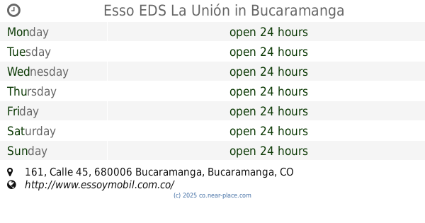
Esso EDS La Unión
a 16-, Calle 45 #161, Bucaramanga
Gas station
read more
5.408 km
Montallantas La Americana
Calle 22 #14-22, Bucaramanga
Gas station
read more
5.434 km
Terpel EDS Exicentro
Calle 45 #173
Gas station
read more
5.859 km
Eds Chapinero
Bucaramanga
Gas station
read more
5.9 km
Mobil
Calle 31 #21-45
Gas station
read more
5.929 km
Autolavado serviclass
Calle 19 #19-36, Bucaramanga
Gas station
read more
6.105 km
Esso
Calle 17 #19-62, Bucaramanga, Bucaramanga
Gas station
read more
6.31 km
Hydro Motors
Carrera 23 #1837, Bucaramanga
Gas station
read more
📑
all categories
Accounting
Administrative area level 1
Administrative area level 2
Airport
Amusement park
Aquarium
Art gallery
Atm
Bakery
Bank
Bar
Beauty salon
Bicycle store
Book store
Bowling alley
Bus station
Cafe
Campground
Car dealer
Car rental
Car repair
Car wash
Casino
Cemetery
Church
City hall
Clothing store
Colloquial area
Convenience store
Country
Courthouse
Dentist
Department store
Doctor
Electrician
Electronics store
Embassy
Establishment
Finance
Fire station
Florist
Food
Funeral home
Furniture store
Gas station
General contractor
Grocery or supermarket
Gym
Hair care
Hardware store
Health
Hindu Temple
Home goods store
Hospital
Insurance agency
Intersection
Jewelry store
Laundry
Lawyer
Library
Light rail station
Liquor store
Local government office
Locality
Locksmith
Lodging
Meal delivery
Meal takeaway
Mosque
Movie rental
Movie theater
Moving company
Museum
Natural feature
Neighborhood
Night club
Painter
Park
Parking
Pet store
Pharmacy
Physiotherapist
Place of worship
Plumber
Point of interest
Police
Political
Post office
Premise
Real estate agency
Restaurant
Roofing contractor
Route
Rv park, camping
School
Shoe store
Shopping mall
Spa
Stadium
Storage
Store
Subpremise
Subway station
Supermarket
Synagogue
Taxi stand
Train station
Transit station
Travel agency
University
Veterinary care
Zoo
administrative area level 3
sublocality level 1
↑